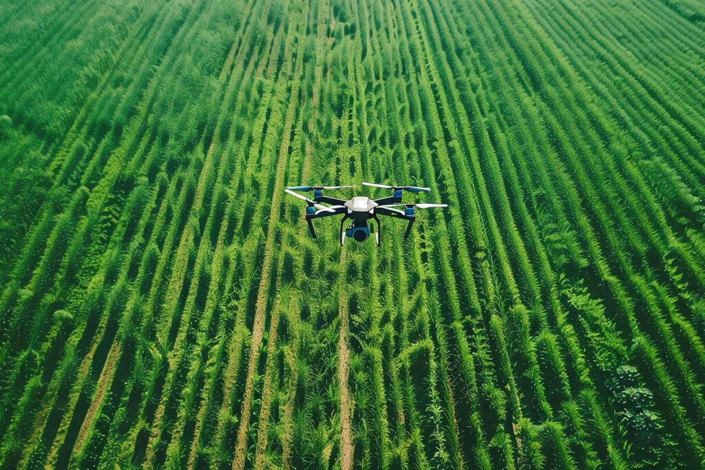
Kiwi Drone Solution expands its offering with the DJI Mavic 3M drone, equipped with a multispectral sensor, to provide high-precision agronomic and environmental analysis.
This technology allows data invisible to the human eye to be collected and transformed into useful information for agricultural management and environmental risk prevention.
Vegetative vigour maps.
Vigour maps allow for a quick and scientific assessment of the health of vegetation.
Advantages
• Early detection of water stress, nutritional deficiencies or parasitic attacks. • Optimisation of agronomic interventions (fertilisation, irrigation, treatments). • Reduction of costs and increase in production yields.
Applications
• Precision farming: vineyards, orchards, arable land. • Agricultural input planning. • Monitoring of plant development at different phenological stages.
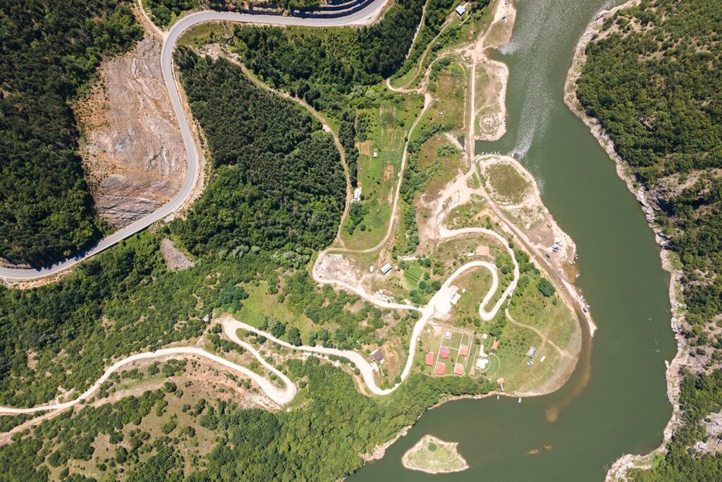
Prevention of geological risks.
Through scheduled flights and multispectral comparisons, it is possible to identify structural changes in vegetation cover and soil.
Advantages
• Identification of early signs of instability. • Mapping of risk areas in mountainous or hilly areas. • Support for preventive intervention decisions.
Applications
• Environmental monitoring in areas at risk of hydrogeological instability. • Land-use planning and emergency management. • Support for civil protection agencies and local authorities.
Multispectral inspections.
Multispectral images provide a detailed reading of the biological state of surfaces, far beyond standard RGB photography.
Advantages
• Assessment of the health status of natural areas and parks. • Detection of ecological changes and environmental stress. • Recognition of invasive species or agronomic problems.
Applications
• Forest management. • Control of public and private green areas. • Monitoring of wetlands, protected habitats, specialised crops.