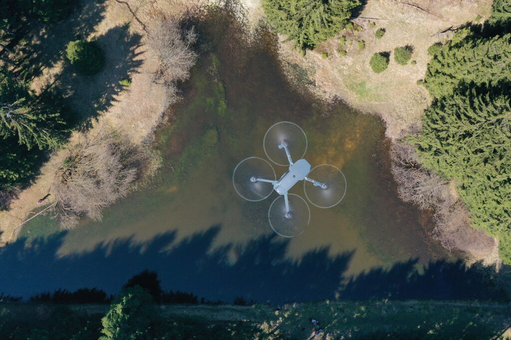
Kiwi Drone Solution uses the DJI Matrice 4T platform, a cutting-edge tool for mapping, inspections and special operations.
Our DJI Matrice 4T aerial platforms transform every flight into a territorial intelligence mission. High-resolution thermography, georeferenced 2D/3D mapping and millimetric topographic surveys open up new perspectives for technical analysis and strategic planning.
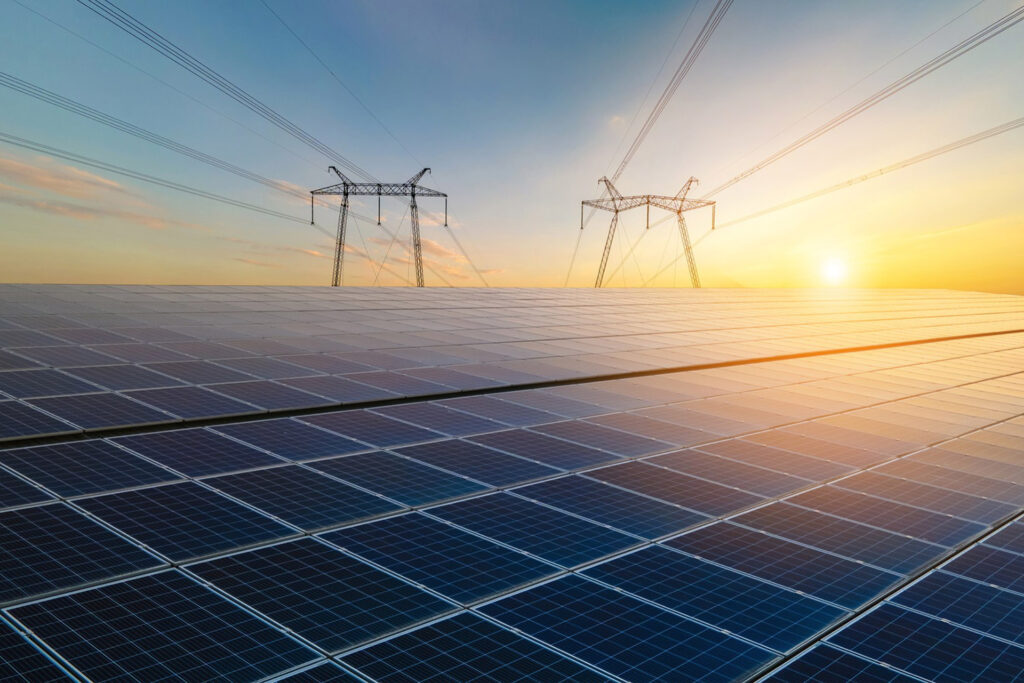
Thermographic inspection of photovoltaic panels.
Our DJI Matrice 4T drone, equipped with a high-resolution thermal camera, allows for quick, safe and accurate thermographic inspections of photovoltaic systems.
Advantages
• Rapid identification of defective cells, hot spots, and damaged connections. • Performance monitoring without interrupting operations. • Targeted predictive maintenance interventions. • Cost reduction and increased productivity.
Applications
• Industrial and residential solar systems. • Post-installation checks. • Periodic inspections for maintenance and warranty purposes.
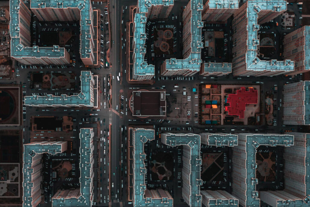
2D/3D mapping and modelling.
With the integrated technology of Matrice 4T, we create high-definition 2D maps and 3D models, ideal for technical analysis, planning and visual documentation.
Advantages
• Accurate and fast topographic surveys. • Detailed 3D models for simulations, volumetric measurements and presentations. • Access to georeferenced data that can be integrated into GIS, CAD and BIM software. • Reduction in time and costs compared to traditional methods.
Applications
• Urban planning and land management. • Infrastructure monitoring: bridges, buildings, roads, dams. • Agronomic analyses, soil mapping and environmental surveys. • Documentation for civil engineering, construction sites, archaeology and architecture.
Search and rescue.
We use the thermal vision of the Matrice 4T for search operations in wooded, rural or difficult-to-access areas.
Advantages
• Real-time thermal detection even at night. • Rapid coverage of large areas. • Effective coordination with ground teams.
Applications
• Recovery of lost pets. • Operations in the event of natural disasters. • Monitoring of wildlife.